Taken from a friend's guest bedroom. He complained that he was gradually losing his view of the lake due
to tree growth. Well, most of the year the trees are bare so it's not really maybe a problem.
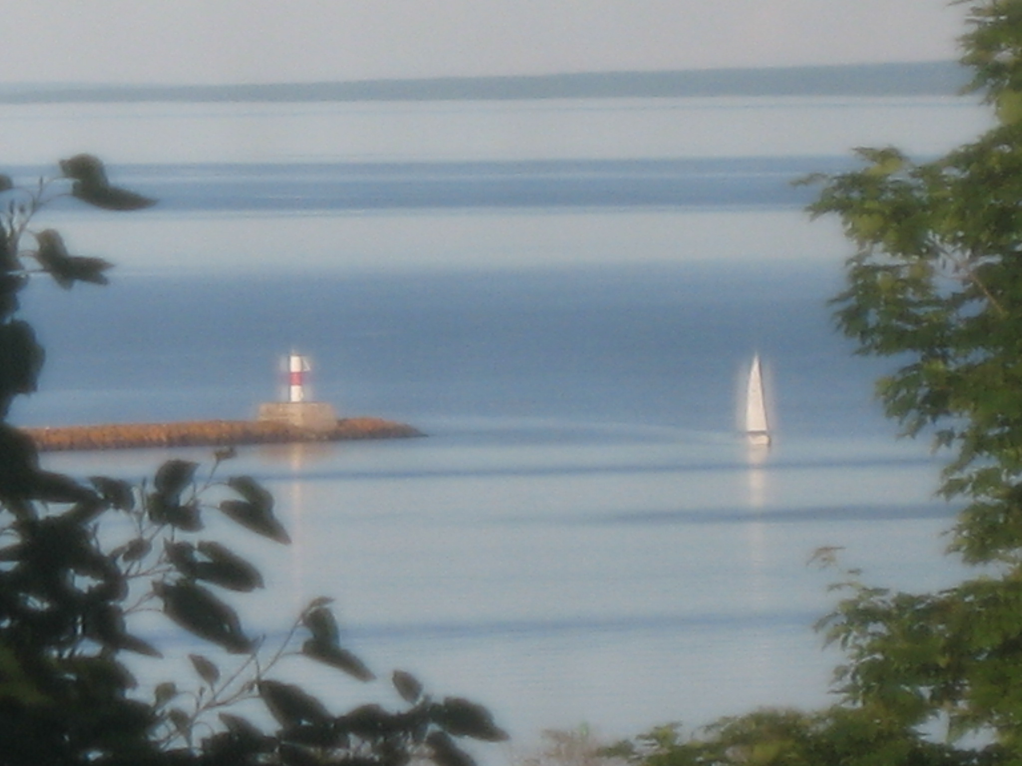
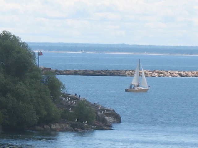
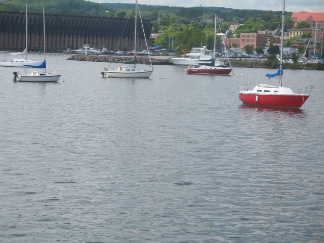
The lake has different moods, daily... sometimes hourly. This breakwater protects the city harbor from winter storms.
It reaches about a mile out from shore.
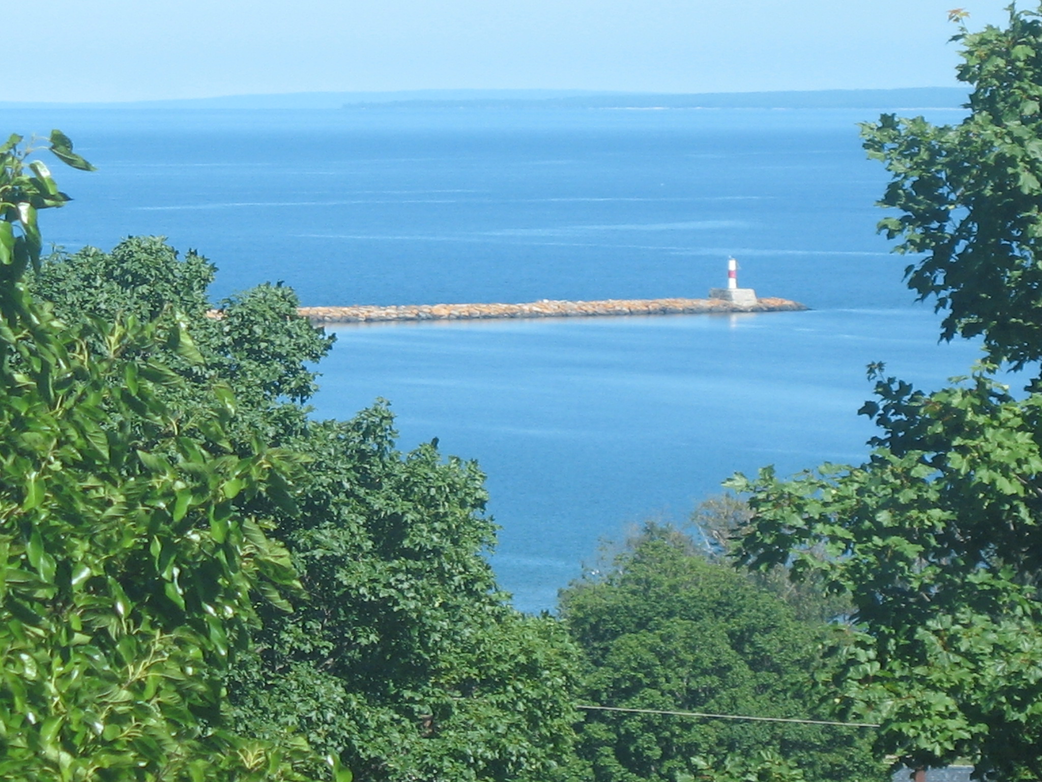
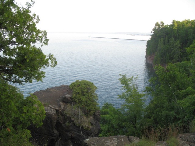
Below, several views of the second breakwater out at the base of Presque Isle, what the locals call The Island,
on the north end of town, which I didn't know for quite awhile was French for "almost an island".
This spot is quite treacherous in the winter as storms send waves cascading over the area and that water freezes.
Actually this one, below, is of the in-town breakwater
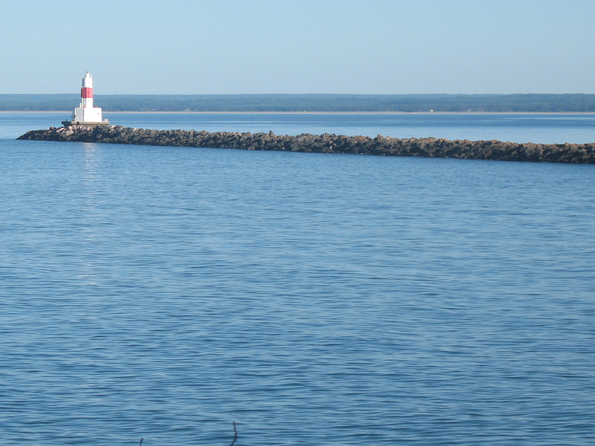
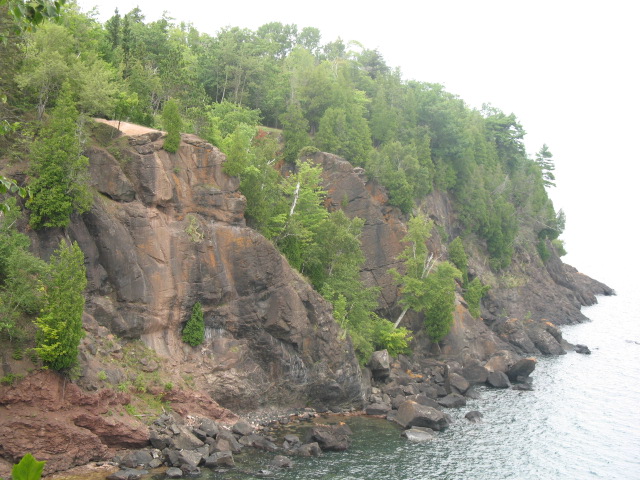
back to the Presque Isle breakwater as seen further onto the peninsula (Island - as the locals call it). There
are some treacherous cliffs along here that demand caution, but it's a great hike around the "Island".
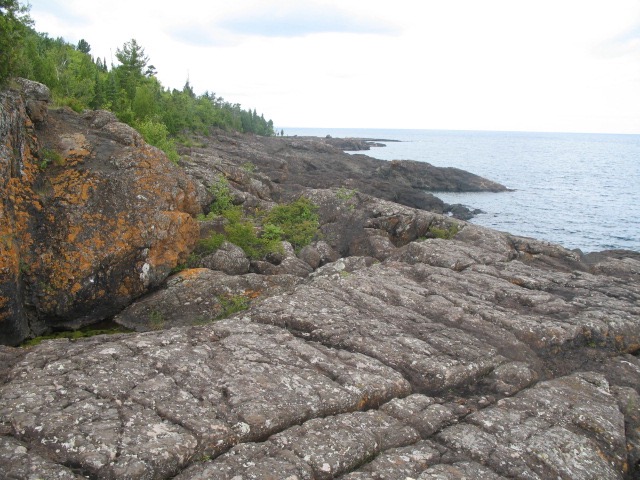
Turn around and walk 1/4 mile and you get the view below.
Further along and you come to some of the oldest exposed rock on the planet.
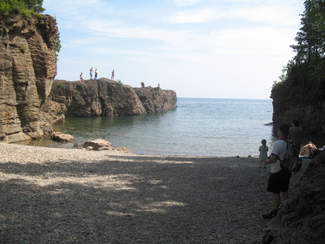
Keep going and at the bottom of a steep hill, where the one-way road curves to the end of Presque Isle and
heads back, is "the Cove", where those desperate to swim jump off cliffs into very chilly water.
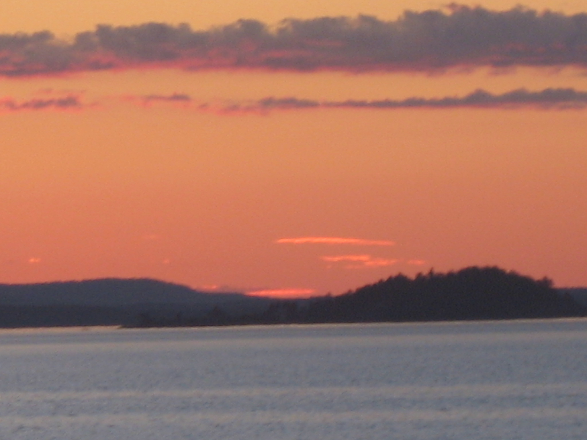
A bit further is Sunset Point, this one taken just after sunset.
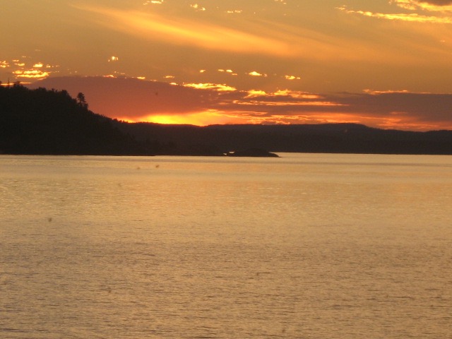
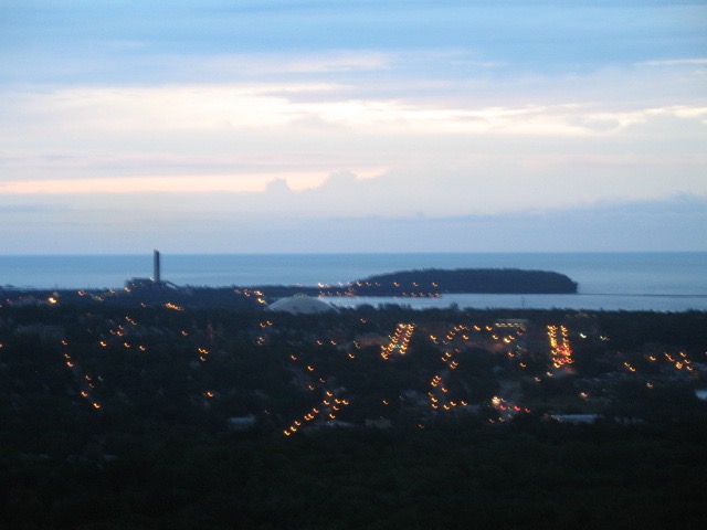
From a room in South Marquette again, sunrise this time.
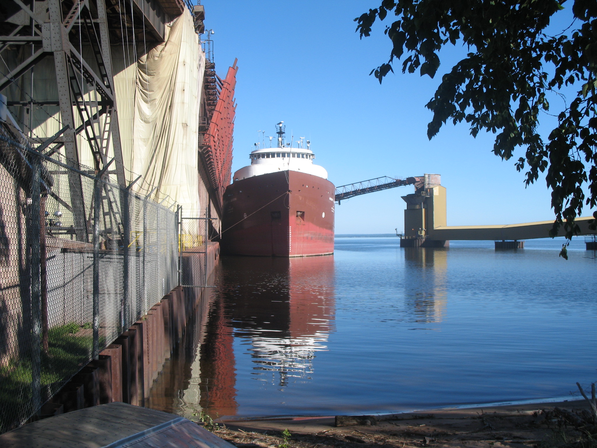
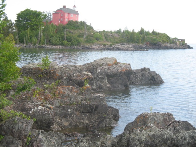
At the neck of Presque Isle, is an ore dock, still in use for shipping ore from the inland mines.
To the right is a facility for unloading coal for a power (dirty) plant located along this beautiful shore.
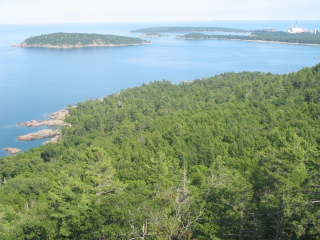
Below a view of Presque Isle from Mount Marquette, south of the city.
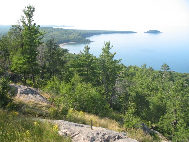
This is a couple from Sugar Loaf Mountain, several miles west of Presque Isle, which you can see in the first of the shots.
The island there is called Little Presque Isle. You can wade to it.
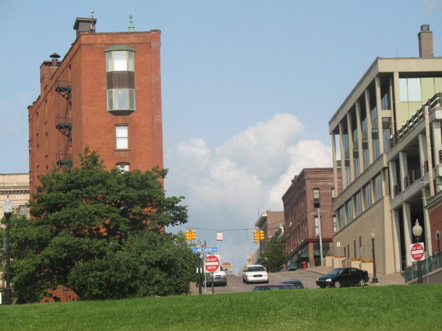
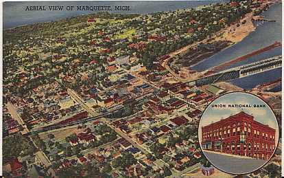
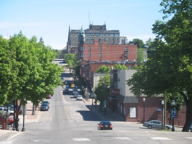
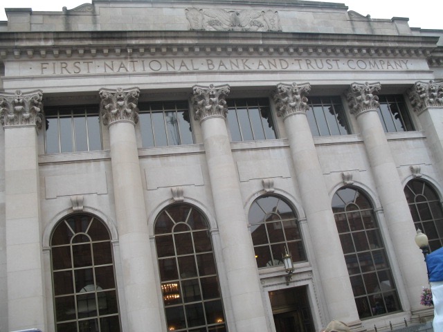
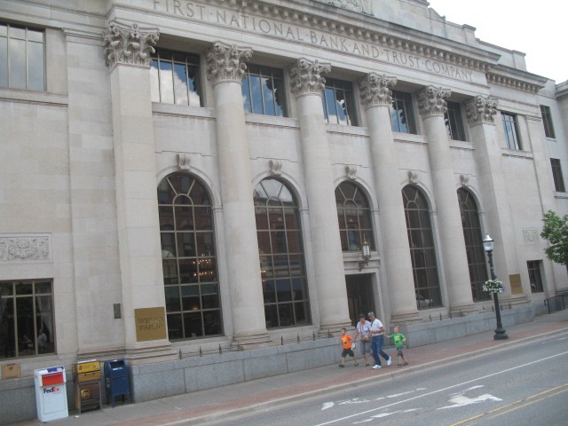
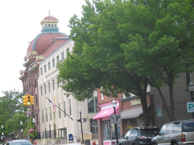
Taken from the harbor edge, looking up at Washington Street, the main east/west street. The "modern"
building on the right is what replaced the former bank featured on the next photo, a post card from
probably the 50s. It's still the same bank. There was a barbershop in its basement where the only black man
in town shined shoes- until the Air Force located a base nearby. I would see him at baseball games,
always alone. I never thought to befriend him. Well I was a shy kid.
The harbor during the time of this photo has piles of coal but later that was cleared out and a park replaced
it, with a play structure, dock facilities and a large grassy area for festivals. Also warehouses and
office buildings were transformed into condos and restaurants. The trestle from the ore dock was
dismantled but the dock itself remains, awaiting the developers.
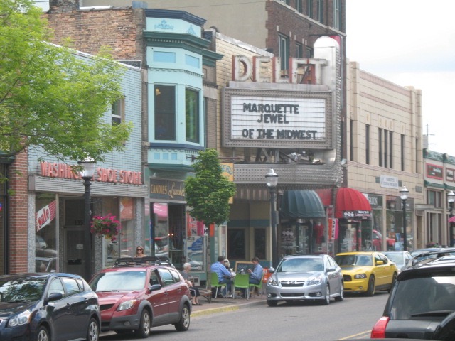
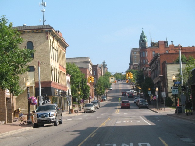
below a shot of Washington Street looking west which includes the Delft Theater, in the next block
up that hill from the harbor, in the photo two above.
and Front Street looking south. Washington Street is at the light, left down to the harbor, right west,
as in the previous photo.
Front Street just south of Washington.
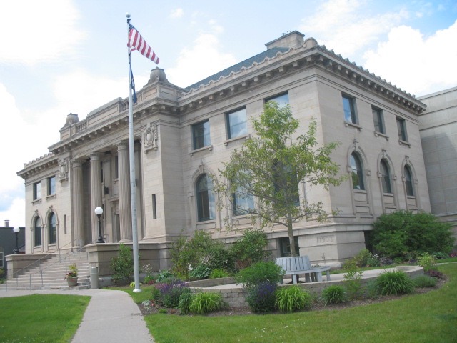
From the previous photo, turn around and walk two blocks to this wonderful library, The Peter White
with its new-ish wing to the rear. Some very nice Lundmark oils here, lakescapes. There was a marble
memorial at the street level honoring the local soldiers killed in World War II. which is gone...
haven't been able to locate it despite several efforts.
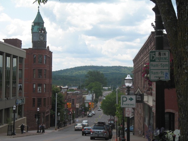
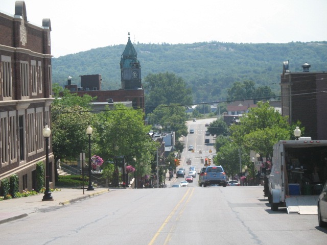
From in front of the library, looking down Front Street. Gives a sense of the hills and the challenge of
driving up them in winter. Mount Marquette in the distance. The Stand Pipe stood on the mountain for
years, as kind of a marker - as you saw it in the distance you knew you were close to home. I guess it
was a water reservoir no longer in use. Funny, it would be considered an eyesore if someone proposed
building it now yet, since it sat there for years, was part of the landscape and so cherished. Whoever
removed it avoided controversy by just doing it overnight. That's how it seemed anyway.
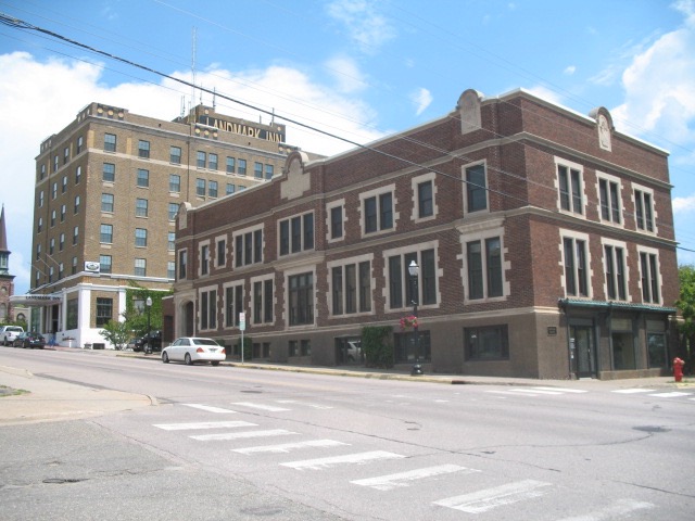
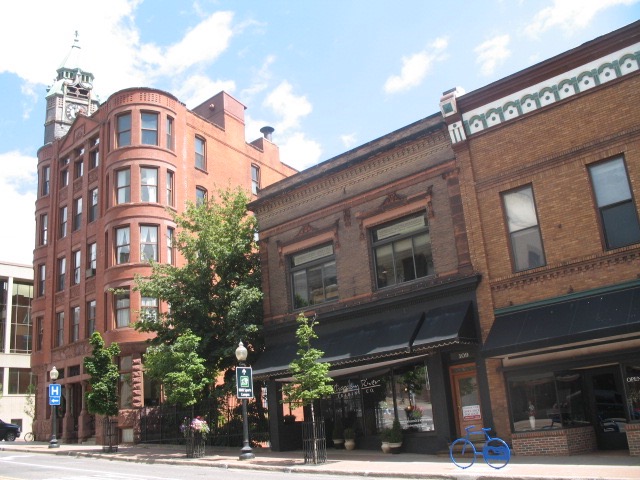
The
Landmark Hotel, across from the library, has changed names several times,
Heritage is one I recall, and
The Northland Hotel. The Rolling Stones stayed here when they were in town for the funeral of one of their roadie's.
From the south looking up Front Street
and again, a little closer in... where the trees are mid-left, past the light, is where the Railroad trestle
used to pass that served the ore dock and mines.
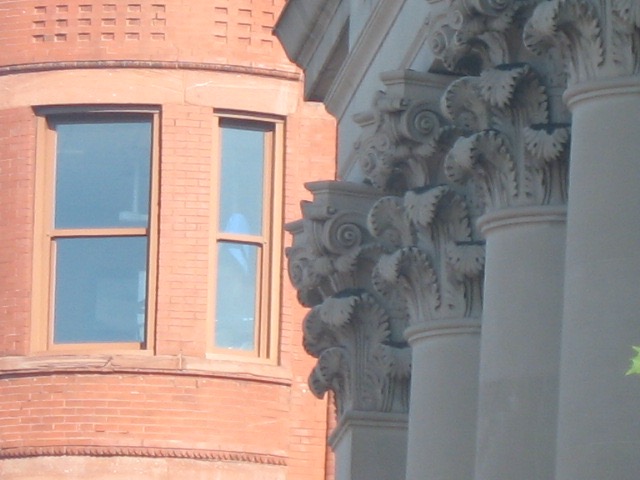
The building on the left is probably the most known and handsome of Marquette's buildings. Wouldn't
it make great condos?
Okay, turn left at that building above and you're on Washington Street, the main east/west street. During the
December holidays there was a model train that ran around inside this building.
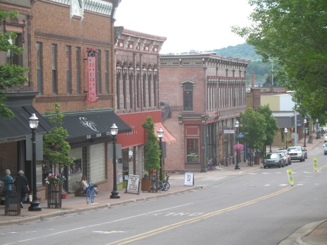
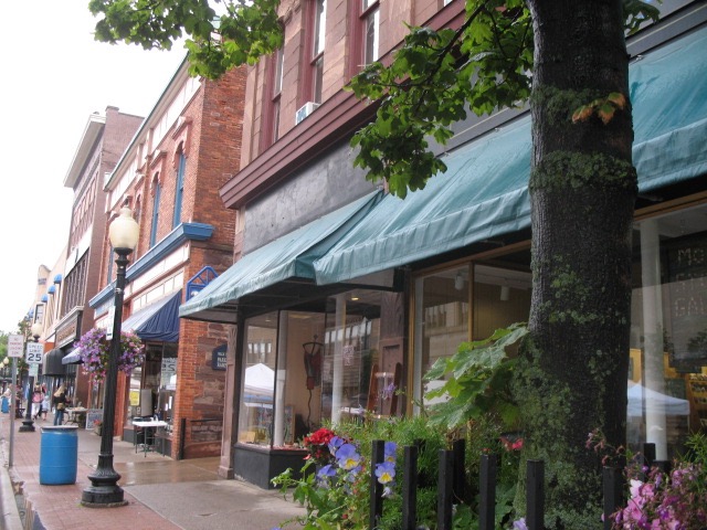
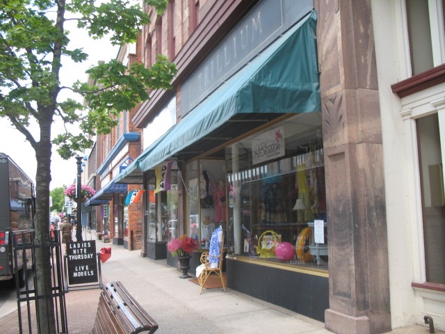
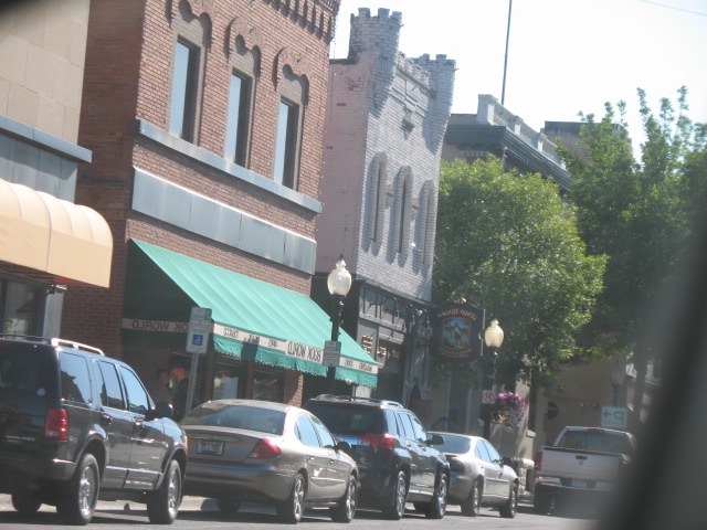
the next few explore the shops between Front and Third Street... it quickly thins out beyond about 4th Street.
The malls have practically killed the downtown like about everywhere else in the country.
The light building is the post office & federal building, the next one used to be city hall I think with the
police department in the basement.
I think this photo somehow reversed... or those cars are parked on the wrong side of the road. Oh, I see,
I shot it in my side mirror.
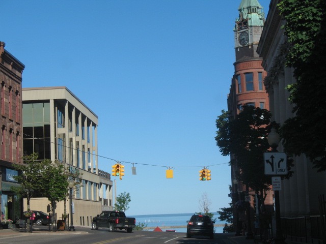
back to corner of Front & Washington.... let's go down the hill to the harbor next
that fishing boat across the way was much more common in the 50s... I think fishing in the lakes has declined
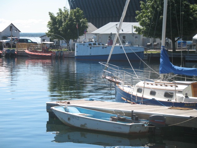
great old wood sailboat
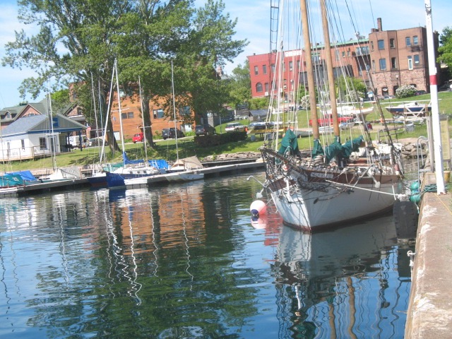
the foreground for these condos used to hold giant piles of coal, the chief fuel for heating in those days.
The whole harbor was very utilitarian. Took awhile to make room for the aesthetic impulse.
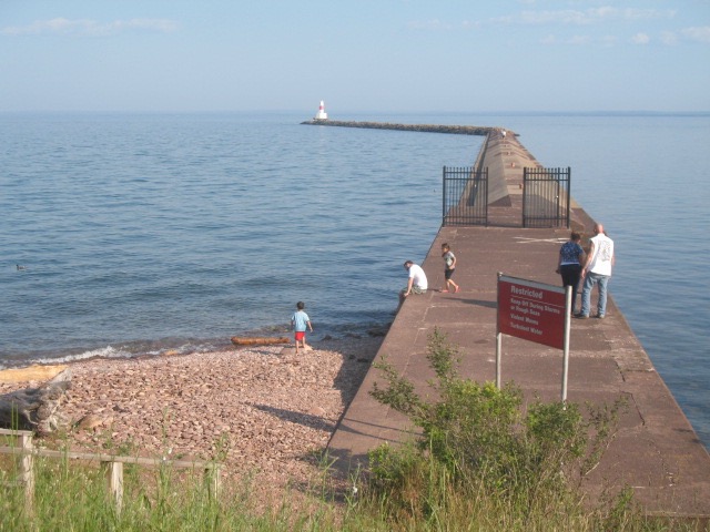
taken near the base of he breakwater the coast guard lighthouse
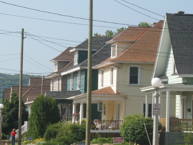
moving into South Marquette, this is on Champion Street looking south, just past the old Fisher School and
the bridge over the by-pass, Mount Marquette in the distance. Notice those steep roofs for repelling snow.
The next bridge west, parallel, is on Altamont Street and on the north side of that bridge is the building below.
Across the street is the Veteran's facility where I searched for the WWII. Memorial without luck.
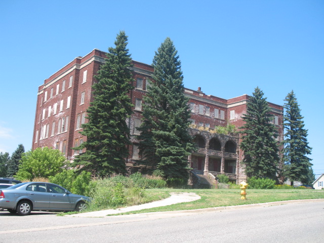
You can see it's boarded up but this was a functioning orphanage when we were kids. I'd see a group
of residents walking together sometimes, led by a nun, going to the quarry to swim. It's on the corner
of Fisher and Altamont, south side of town but 8-10 blocks north of Craig Street.
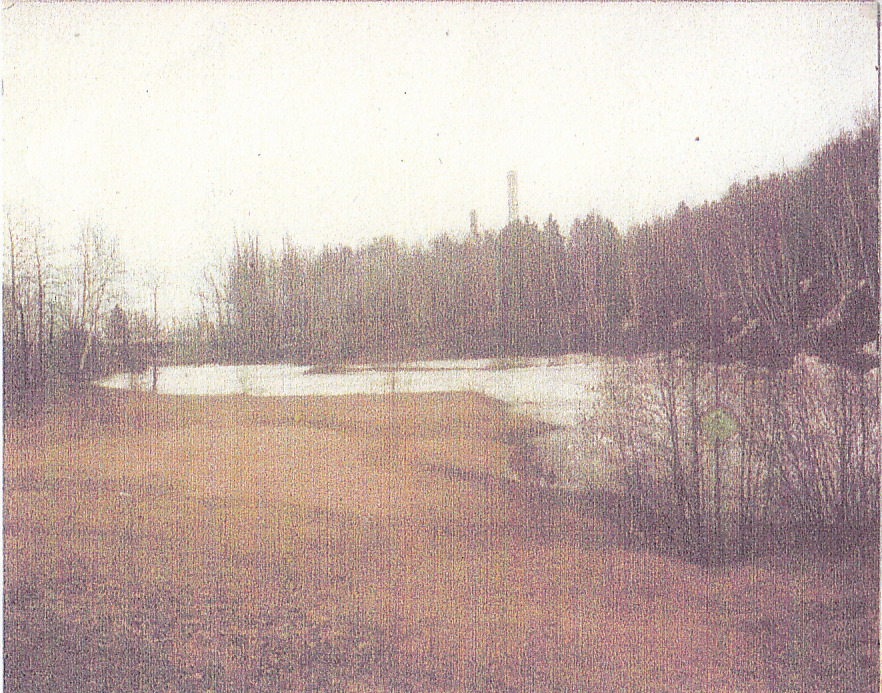
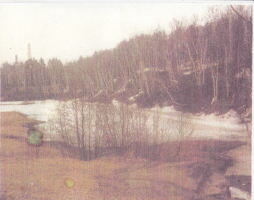
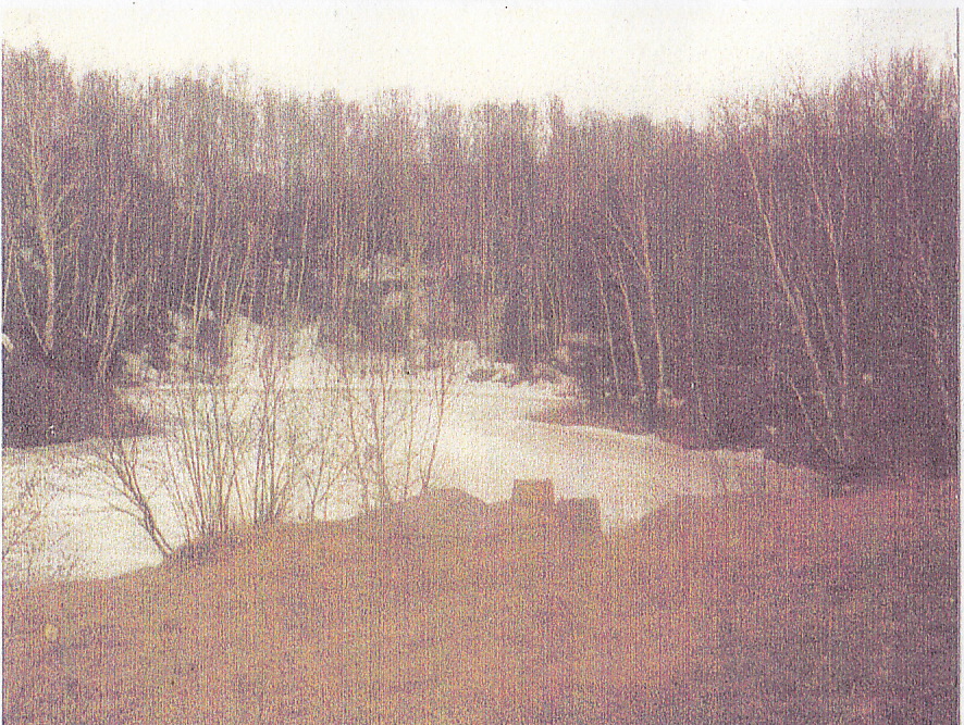
This was South Marquette's swimming hole, an old quarry that filled with water. Lots of the local buildings
are faced with a reddish stone from this place. It was roughly S-shaped. In the top left shot you can see a
skinny peninsula jutting out into the water. There were all kinds of amenities, like a raft, hidden rocks you could stand
to rest on, if you knew where they were, a baby pool and a Tarzen Swing, a rope tied to a tree on a bank, middle shot.
You had to swim across to get to it so it was for "big kids" only. There was a ritual where, when you were ready,
the older kids would escort you on your first dog paddle across to the swing. In the third shot you can still see the
structure for the diving board, a really big kid thing. The area in the first shot was "swim at your own risk", the
life guard not being responsible, though of course they would come if needed. It was very deep in the far corner
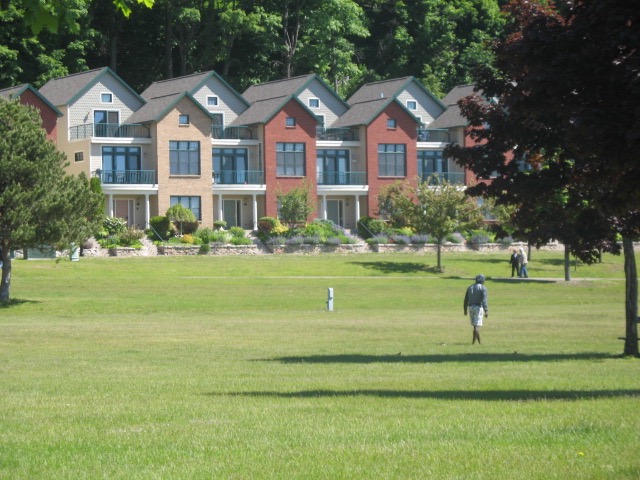
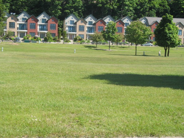
where Katie Ref drowned when she was only ten. The "lake" is now surrounded by condos, privatized.
I did this drawing to help picture it.

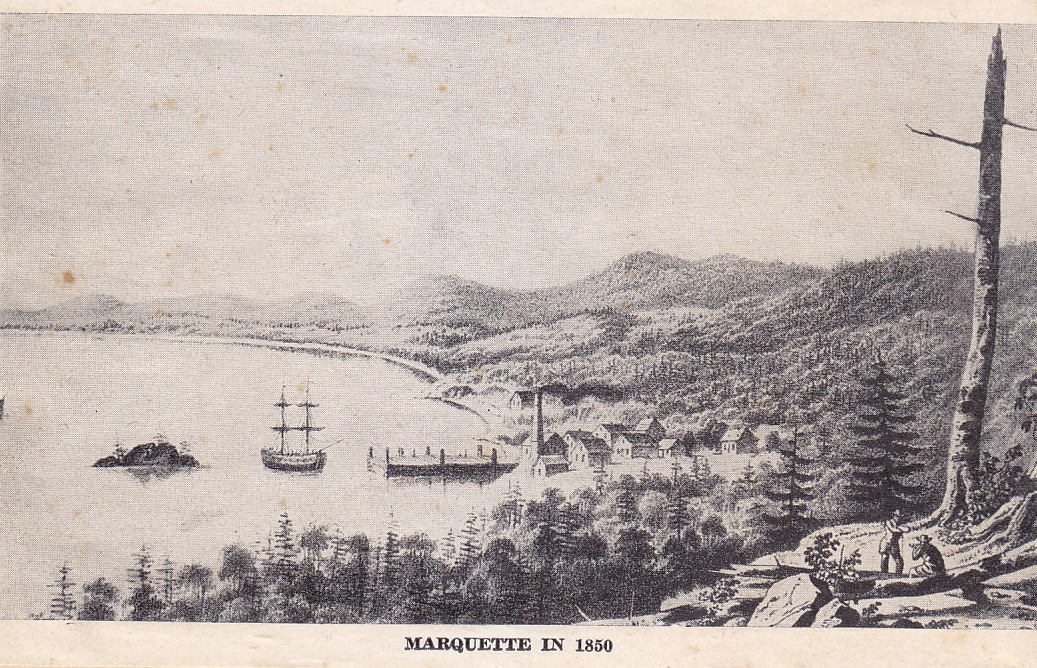
The first attempt to settle Marquette was just south, by the Carp River, of where it eventually was located.
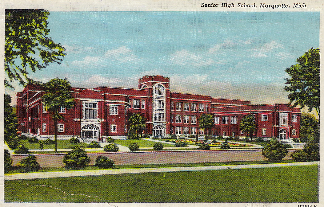
This is Graverate High School from whence Gus, Patty and I graduated. Steve and Dusty graduated from the
new school. The wing to the right is the gym, the wing to the left the auditorium. That's Front Street running
by there, leading to the left, to downtown, only a few blocks. We'd walk here, probably 2-3 miles from home,
being one block short of qualifying to take the school bus. A new high school was built while I was finishing
up. I think I was in the last high school class to use this building, 1962.
back